Explore The Church
CHURCHYARD HISTORY
St Clement Church’s burial records were transcribed during the course of 2007 and 2008 and are now available on this site in a searchable database. Anyone who is interested in family history or who would like to know where a friend or relative is buried can consult our records at no charge. We have over 6,000 records dating back to January 1791. Unfortunately, our pre-1791 records were lost in a fire at the parish hall.
Although people are interested in churchyard records for the information they can provide on family history and the life and times of a community, each record represents someone who once lived. Every one of them is precious to God and we hope that those who do visit our churchyard are comforted to find it properly looked after and well cared for. Many people find it a place of peace, beauty and even hope.
A word of warning
The churchyard has been extended over the years, particularly in recent times, as the population of the parish has grown. It seems that every Rector has taken it upon himself to introduce a new numbering system with each new extension, and while each one must have made perfect sense at the time, today we have ended up with such a muddle that even the experts (the Rector and sextons) have difficulty in understanding it! We can only apologise that we have “left undone those things which we ought to have done; and we have done those things which we ought not to have done” (in the words of the Prayer Book), but if it is any consolation, we do not think that St Clement’s churchyard is any worse than any other parish churchyard in Jersey.
Introduction
Each record has a location code, corresponding to one of the seven sections within the churchyard. A description of each section follows below.
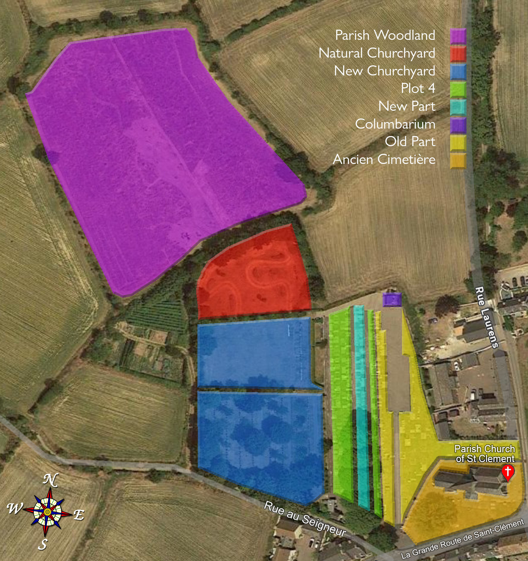
AC (the Ancien Cimetière)
This is the area immediately surrounding the church. The earliest burial for which we have records took place in this section on 7th January 1791. There are no marker stones in this part of the churchyard.
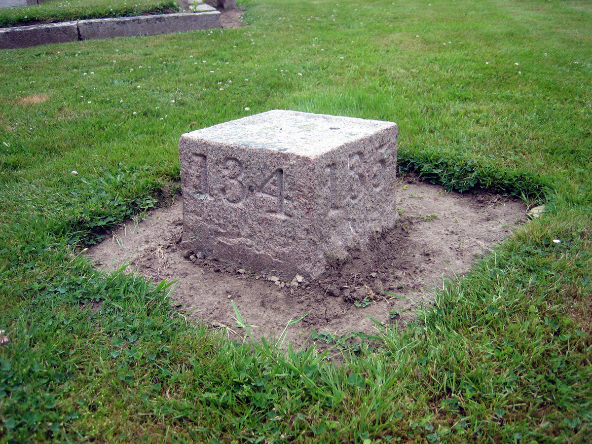
OP (the Old Part)
This was the first extension to the churchyard and was opened in April 1861. It is subdivided into three plots. The numbering starts in the west plot and runs north in a single row from 1-72. The central plot consists of three rows: 73-136 (running south), 137-180 (running north) and 181-200 (running south). The east plot, 201-226, is situated to the north of the church against the wall and runs east.
NP (the New Part)
This was the second extension to the churchyard. The first burial took place in the New Part in September 1891. The numbering runs from 1 to 188 in three rows, from east to west: 1-70 (running north), 76-132 (running south), and 133-188 (running north). The New Part was effectively full by December 1949 but in the 1960s a row of trees that ran down the middle was removed and an ‘infill’ plot was inserted. This plot – Plot 4 – has its own numbering system: beware!
Plot 4
Plot 4 – the third extension to the churchyard – was inserted into the New Portion. The first burial in this section took place on 15th September 1959. Plot 4 consists of a single row of 15 marker stones, running south from AA to AO. Although Plot 4 is still in use today, all the vacant plots had been used by 1994.
NC (the New Churchyard)
The New Churchyard was the fourth extension to the churchyard and was opened in September 1970. There are two numbering systems, the first relating to burials and the second to cremated remains. The New Churchyard is also divided into two plots. The south plot, which was opened first, consists of a central section bordered by two rows: A1-A48 (the bottom row) and B1-B47 (the top row). The numbering in both these rows runs east to west).
The central section consists of four vertical sub-sections, which are divided by three paths. Confusingly, the numbering begins in the third sub-section and the rows run from west to east: AU-AY and AP-AT and then over into the fourth sub-section for AZ1-AZ40. All the numbering within these rows runs from north to south.
There is a small triangle of land at the bottom of the third sub-section, which is reserved for the burial of ashes. The second numbering system begins here: C1-C11.
The next phase of the numbering of burials runs from east to west, beginning in the second sub-section: BB1-BB39; CC1-CC39; DD1-DD38; and EE1-EE37. This is followed by the first (westernmost) sub-section (still numbering from east to west): F1-F36; G1-G36; H1-H36; I1-I36; J1-J36 & K1-K35.
From here, there are four rows using a different numbering system (although it still runs from east to west): D1-30; E1-30; FA1-30 and GA. As with C1-11, these four rows are for the burial of ashes and complete the burials in the south plot.
The northern plot continues the two numbering systems that began in the south plot. The ashes burials are in three rows along the bottom (south) of the plot: HA, IA and JA (running from east to west). The rest of the north plot consists of a number of rows, beginning in the east with L1-26 (which was begun in May 2016). Further rows will be added in due course in alphabetical order (M1-26; N1-26 etc). The numbering within each of these rows runs from north to south.
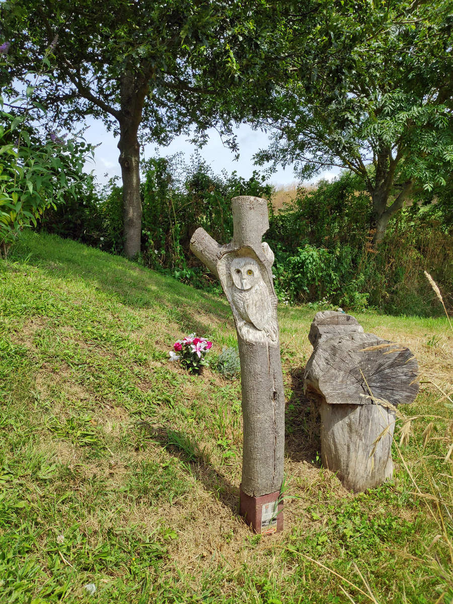
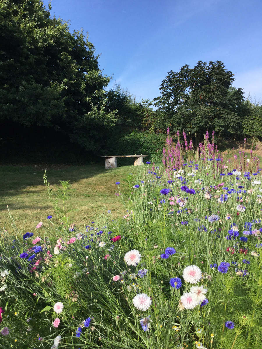
MC (the Meadow Churchyard)
The Meadow Churchyard (also referred to as the Natural Churchyard) was the fifth extension and was opened in August 2017, when the first burial of ashes took place. It is planned for there to be 10 rows for burials (from A1-10 through to J1-10) beginning in the west. Each row will be marked by a wooden post to which small plaques will be affixed. The numbering within each row runs from south to north.
Columbarium
The Columbarium (also called the Angel Tomb or the Pixley Memorial) was first opened for use in July 2020. It is intended for the deposition of cremated remains, either in caskets or without. Caskets will either be located in wall niches (numbered 1-100) or in the vault.
Click here to access our records.